Live world watch
Taiwan Typhoon Live Cameras
Taiwan's position facing the Philippine Sea means its west and east coasts often see very different conditions during the same tropical cyclone — mountain ranges down the island's spine can shelter one side while the other takes the direct approach. This page tracks tropical cyclones currently reported near Taiwan and groups matched cameras by coastal, urban and mountain views so the regional difference is visible rather than flattened into one list.
Cameras are re-matched as a storm's reported position updates, so the set shown here reflects the most recent track rather than where the system started.
Currently reported
No events matching this page are currently being reported. This page stays up permanently and will populate automatically the next time one is — in the meantime, general live cameras for this region are shown below.
General live cameras for this region
These stream around the clock and are not tied to a specific reported event.
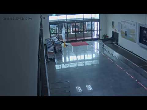 Port/Airport
Nangan Airport Terminal
🇹🇼 Nangan, Taiwan
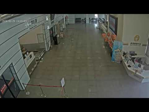 Port/Airport
Matsu Beigan Airport Terminal
🇹🇼 Matsu Beigan, Taiwan
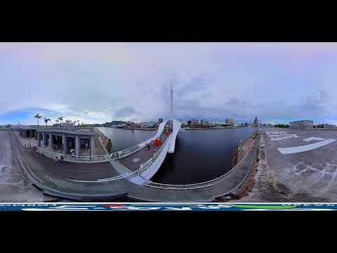 Port/Airport
Port of Kaohsiung Pier 2
🇹🇼 Kaohsiung, Taiwan
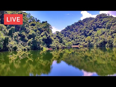 City View
Taoyuan - Lalashan
🇹🇼 Taoyuan, Taiwan
 City View
Live Webcam from Xiangshan Overlooking Taipei City
🇹🇼 Live, Taiwan
 City View
Kinmen - Jiangong Islet
🇹🇼 Kinmen, Taiwan
 City View
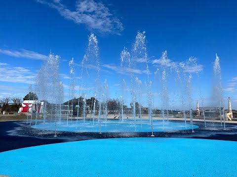
Live Webcam of Dongshi Fisherman's Wharf in Chiayi County
🇹🇼 Chiayi, Taiwan
 City View
Kinmen - Jiangong Islet
🇹🇼 Kinmen, Taiwan
 Nature
Taipei - Yangmingshan National Park
🇹🇼 Taipei, Taiwan
 Nature
Hualien - Liyu Lake
🇹🇼 Hualien, Taiwan
 Street Market
New Taipei - Sanxia Old Street
🇹🇼 New Taipei, Taiwan
 Nature
Taipei - Yangmingshan National Park
🇹🇼 Taipei, Taiwan
How cameras are selected for this page
Coastal and harbor cameras are prioritized for storm visibility, followed by city cameras in Taipei, Kaohsiung and other major centers, and mountain cameras where they help show conditions on the windward side of the island.
Because the east and west coasts can be affected very differently by the same storm, cameras are labelled with their city so it is easy to tell which side of Taiwan a given view covers.
What these cameras may show
- Sea state and wind effects along exposed coastlines, harbor activity, and street-level rain and wind conditions in major cities.
- Mountain cameras can show cloud and rain intensity building on the windward slopes before a system makes its closest approach.
What these cameras cannot confirm
- Central Weather Administration (CWA) forecast tracks, landslide risk in mountain areas, or flooding extent in low-lying districts.
- Whether a specific district has been placed under an official typhoon day or evacuation order — that information comes only from CWA and local government announcements.
Official sources
Frequently asked questions
- Why do east-coast and west-coast cameras sometimes look completely different during the same typhoon?
- Taiwan's Central Mountain Range runs the length of the island and can shelter one coast while the other takes the storm's direct approach — it is common for the west coast to look calm while the east coast is experiencing strong wind and rain, or the reverse.
- How current is the typhoon data on this page?
- It reflects the most recent position reported by international agencies at the time you loaded the page, refreshed automatically as new reports arrive.
No active event data for this page at the moment.
TubeTraveler is a live-camera discovery service, not an emergency warning service. Camera footage may be delayed, unavailable, or unrelated to conditions outside the camera’s view. Follow instructions from local authorities and official emergency agencies.